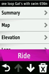
Garmin Edge 810

Contents
Intro and Features
Maps
Problems ..
Annoyances ..
Conclusions
Megallen vs Garmin
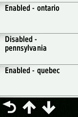
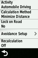
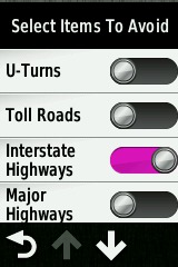
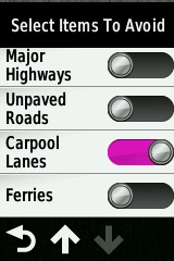
Edge 810 - Settings Tables
Edge 810 - Navigation Scenarios
Contact - additional links
After evaluating the Edge Touring PLUS and finding a number of routing bugs, I decided to try the 810.
The one surprise with the 810 is that it does NOT have a "Route Planner" option so you can not create a route on the GPS without the aid of a laptop or smartphone.
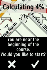
Otherwise, the 810 appears to do everything the Touring Plus does and alot more giving control over routing parameters such as 'Automobile Mode' and many avoidances. The one nice additional feature is the 'navigate to start' of a course/track which is currently not in the Touring Plus.
With the 810, there are basically three scenarios one could use for navigation.
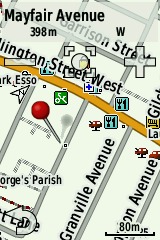
Pick a point (map or search a location) and have the GPS create a route and navigate to that point. The only way to control the route is through 'Avoidances' and what mode the GPS is in (Car/Cycle/MTB etc.).
Create a track/gpx file on a website or laptop or smartphone and navigate that route.
Create a track/TCX file on a website and navigate that route. (See interesting ridewithGPS post on TCX files)
In scenario #1, you would probable ask the GPS to put you on roads and recalculate your route if you deviate from it.
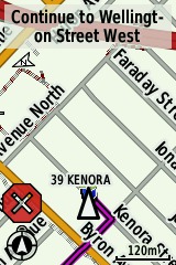
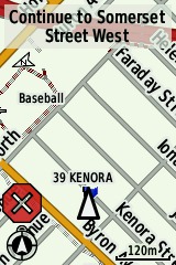
In the scenario #2, the strategy usually is to follow the track exactly and the GPS will squawk if you fall off the route. This means routing is not locked to roads (trusting in the track file accuracy) and route recalculation is disabled. If you enable Turn Guidance, it will attempt to read the map and give you text and beeps when turns come up.
Scenario #3 is almost the same as #2 except the website has embedded turn directions in the file along with track bread crumbs and the GPS will find it easier to come up with turn text and beeps. (I need to test this some more.)
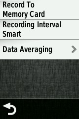
There are two options here. The cheaper version of 810 comes without Garmin maps and you can download OpenStreetMaps (OSM) and load them on an SD card on your device.
The second option is to purchase Garmin City Maps for North America for $105 CAN after shipping/tax. I like the DVD so I can use BaseCamp to design routes without having to connect the GPS to the computer.
Here is a list of many of the issues I had while evaluating this GPS:
There seems to be a difference on bike path routing between maps from garmin.openstreetmaps.nl and the flavour on the Garmin Edge Touring. The later would 'prefer' to put you on a bike path even though straight down the adjacent road would be straighter. The former behaves more logically and will put you on a bike path only if there is not much distance difference. Both map flavours respect the Cycle vs Automobile mode except for the routing discrepancies discussed later.
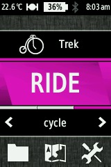
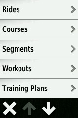
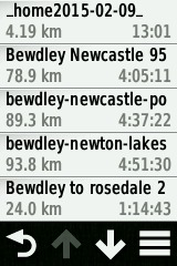
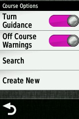
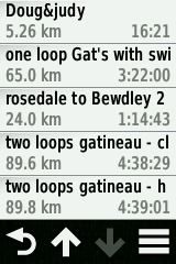
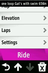
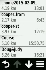
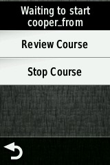
For longest time I could not get the GPS to give Turn Guidance with the track files I was loading (BaseCamp or ridewithGPS.com). Garmin told me I needed TCX files but other websites described using track files without TCX! I finally found the menu under Folder->Courses that turned this on and it started to work.
Often the first few turns of a Course do not have Turn Guidance no matter what I do with options. The GPS calculates a route over top of the track data (you can see it on the map) but the first turn can be 1km away! I tried Lock on Road on/off to no avail. If I disable all maps except base map, the route turns are found and everything looks ok .. except since there is no map or street names, the turn directions are for every jog in the road - not that useful (would presumably work with TCX file though ..)
Sometimes the calculated route over the Course(track) leaves the road - cutting an intersection off with a 45deg angle cross-country. Sometimes if there is a bike trail, it will jump on to it and skip around the problem intersection (yes, I'm in Automobile Navigation when this happens .. no options seem to fix this!). I suspect this is a 'maps compatibility' problem so I've ordered the Garmin Maps to find out!
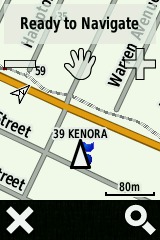
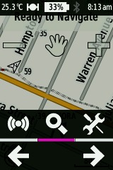
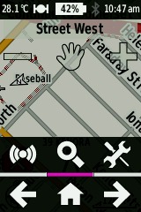
When you tap the 'HAND' on the map and pan around looking for streets and tracks, you have to look at the North indicator to get oriented. It would be nice if you could tap something to get north pointing up in this mode!
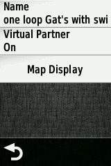
You have to turn Virtual Partner off for every new Course you load.
Sometimes the screen seems to freeze when you are off-course for 30 seconds or more .. but this only happened once .. and I think if I tapped the screen it would have woken up and displayed my position.
After a week of driving the GPS around town navigating tracks and routes in various Car/Cycle modes, this is what I can conclude:
It is easy to select a point on a map and have the GPS calculate a route and navigate you to that point.
It is easy to download a track from BaseCamp (laptop Win7), OsmAnd (Android smartphone) or website 'ridewithGPS.com' (GPX track) and load it on the GPS
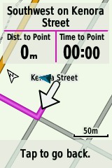
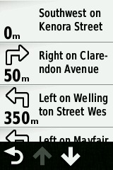
If you enable 'Turn Guidance', you will get turn directions on the screen in the form of arrows as well as a beep 50 metres from the turn (if tones are enabled) .
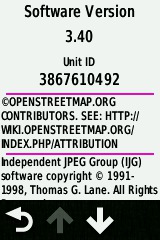
You can easily download OSM (OpenStreetMaps) for this unit from the web at http://garmin.openstreetmap.nl. If you place a point on a bike path, these maps will route you onto the path.
If you want to use track/GPX files on OSM maps, you may get a 10% Turn Guidance miss. This might be fixed with Garmin Maps .. stay tuned!
If you use TCX files from ridewithGPS.com, you will probably have much better Turn Guidance success .. needs more testing.
Using OSM maps, you can get this unit to route on bike paths and respect Automobile Mode vs Cycle Mode.
Final Note on Megallen vs Garmin
... top
After reading many bloggers complain about Edge 800's and 1000's and reading about the success some riders have had on the Megallen/Mio Cyclo series, I almost returned this Edge.
These are the reasons I did not .. and why I'm sticking with Garmin:
Garmin Maps are superior to OSM maps in North America. I've found many problems in Virginia and Ontario where roads do not exist, are broken up in discontinuous segments or have attributes that seem to baffle the GPS.
Cyclo GPS is purchased for a specific region .. and at the moment you can not load European maps on to a Cyclo bought with North American OSM maps.
There is no SD card slot which is a bit worrying ..
If the most important part of your GPS is the map accuracy, then in NA you pretty well have to go Garmin.
